
Next-gen reconstruction tech delivers faster, more accurate 3D modeling for large-scale and complex environments DJI Terra: A Powerful Tool for Aerial Data Processing DJI has expanded the capabilities of its Terra 3D modeling software with new reconstruction technologies, including 3D Gaussian Splatting. DJI Terra is designed to create accurate and detailed 2D and 3D models … [Read more...] about DJI Terra 3D Modeling Software Now with 3D Gaussian Splatting – What’s That?
LiDAR processing
SimActive Releases Correlator3D Version 10.4 with Enhanced 3D Model Controls
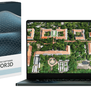
New Update Offers Greater Flexibility for Photogrammetry and LiDAR Workflows SimActive Inc., a leading developer of photogrammetry software, has released Version 10.4 of its Correlator3D platform. This new version gives users more control over 3D model creation, with advanced tools for both photogrammetry and LiDAR data. Full Control for Diverse Workflows Correlator3D … [Read more...] about SimActive Releases Correlator3D Version 10.4 with Enhanced 3D Model Controls


